Pinedale Online!
www.PinedaleWyoming.com
www.PinedaleOnline.com

Visitor's Guide to Pinedale, Wyoming
www.PinedaleOnline.com

Home | Calendar of Events | Photo Gallery | Local Businesses |

Pinedale Online > News > August 2004 > McDougal Gap, Greys River Road Tour

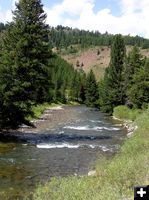
Greys River. Photo by Pinedale Online.
Greys River
The Greys River is not only scenic, but a great fishing stream

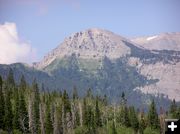
Mt McDougal. Photo by Pinedale Online.
Mt McDougal
Mt McDougal in the Wyoming Range
McDougal Gap, Greys River Road Tour
by Dawn Ballou
August 22, 2004

The Wyoming Range gets a lot less attention than the Wind River Mountain Range, but it offers tremendous recreation opportunities and scenic views just the same. The range is west of our Green River Valley, and spills over to include the beautiful Greys River valley and the Salt River Range which borders the Cache Valley. The McDougal Gap/Greys River road area makes a great destination for a leisurely day drive, day picnic, overnight camping trip, or very scenic alternate back route to get to Salt Lake City, if you don't mind taking an extra couple of hours to get there. In the winter, this area is a popular destination for snowmobilers. During the summer, the gravel road is easily accessible to sedans and RVs. During the winter, the roads become groomed snowmobile trails accessible from our side and from Alpine.

This past weekend we saw antelope, deer, a bald eagle soaring the mountain thermals, and a group of ten sage grouse right next to the road (quite unafraid of our vehicle and the herd of cattle within stepping distance.) The area wasn't crowded, but there were people doing a wide variety of fun activities as we passed on our trip through McDougal Gap, down the Salt River to the Greys River, and on to Alpine via the Greys River Road. We found ATV/ORVers, fishermen, hikers, RVers, campers, people out for leisurely strolls down the road, and kayakers navigating a course down the rapids of the fast flowing Greys River. All were enjoying the beautiful weekend in our last days of summer in their own way.


Lander Peak. Photo by Pinedale Online.
Lander Peak
Lander Peak is a prominent Wyoming Range landmark along the way.

Beaver dams. Photo by Pinedale Online.
Beaver dams
Beaver dams on North Cottonwood Creek just before McDougal Gap

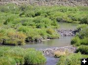
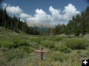
Hardin Creek. Photo by Pinedale Online.
Hardin Creek
Hardin Creek flows into North Cottonwood Creek

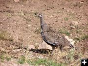
Sage chicken. Photo by Pinedale Online.
Sage chicken
Sage chicken, one of a group of 8 that were found along the Ryegrass road. We saw ten in all this trip.

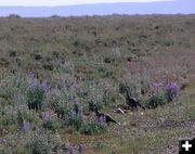
Sage Chickens. Photo by Pinedale Online.
Sage Chickens
Sage chickens along the Ryegrass road

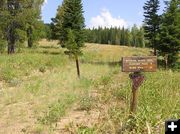
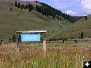
Wyoming Range trailhead. Photo by Pinedale Online.
Wyoming Range trailhead
The trailhead for the Wyoming Range scenic trail takes off from McDougal Gap

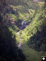
McDougal Pass Falls. Photo by Pinedale Online.
McDougal Pass Falls
Steep waterfalls in McDougal Pass

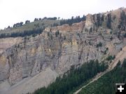
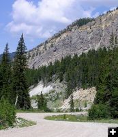
McDougal Pass. Photo by Pinedale Online.
McDougal Pass
Rugged rock cliffs of Mt McDougal at McDougal Pass

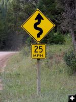
Curvey 25. Photo by Pinedale Online.
Curvey 25
The McDougal Gap and Greys River roads are narrow and very windy in places

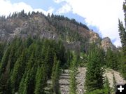
McDougal Pass. Photo by Pinedale Online.
McDougal Pass
Imposing mountains tower above the road along through the pass

McDougal Gap road. Photo by Pinedale Online.
McDougal Gap road
The McDougal Gap road is steep and windy in the pass

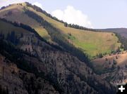
High Valleys Still Green. Photo by Pinedale Online.
High Valleys Still Green
Grass in the high valleys are still lush and green, unusual for mid-August

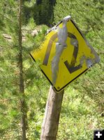
U Sign. Photo by Pinedale Online.
U Sign
The road is very windy in places

Sheep Creek. Photo by Pinedale Online.
Sheep Creek

Sheep Creek. Photo by Pinedale Online.
Sheep Creek
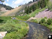
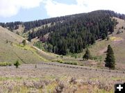
Sheep Creek flows from McDougal Gap into the Greys River

Sheep Creek. Photo by Pinedale Online.
Sheep Creek

ATVing. Photo by Pinedale Online.
ATVing
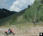
There are miles of roads and places to explore with Off Road Vehicles (ORVs)

ATV fun. Photo by Pinedale Online.
ATV fun
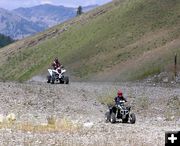
A family from Thayne enjoys using ATVs and motorcycles at an old gravel pit along Sheep Creek

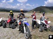
Family from Thayne. Photo by Pinedale Online.
Family from Thayne
This group from Thayne was having a lot of fun using their motorcycles and ATVs in a gravel pit to get great air in jumps

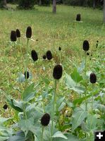
Coneflower seedheads. Photo by Pinedale Online.
Coneflower seedheads
The pretty yellowflowers are gone now and all that is left of these coneflowers are the brown cone.

Buck fence. Photo by Pinedale Online.
Buck fence
A buck fence in the National Forest. These unique wood pole fences are common sites in Wyoming.

Conglomerate rocks. Photo by Pinedale Online.
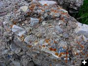
Conglomerate rocks
Large conglomerate rock boulders are found at the top of McDougal Gap

Sheep Creek Trailhead. Photo by Pinedale Online.
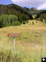
Sheep Creek Trailhead
Sheep Creek trailhead

Trees cling to rocks. Photo by Pinedale Online.
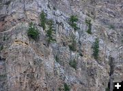
Trees cling to rocks
Trees seem to have an impossible toe-hold on the steep rocks on the McDougal Gap cliffs

Fire danger moderate. Photo by Pinedale Online.
Fire danger moderate
It is amazing to be mid-August and still have moderate fire danger and green hillsides in the forest

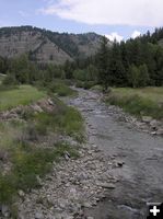
Greys River. Photo by Pinedale Online.
Greys River
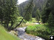
Scenic Greys River

Greys River. Photo by Pinedale Online.
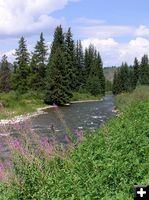
Greys River
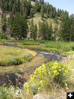
Wildflowers are beautiful along the Greys River

Burrs. Photo by Pinedale Online.
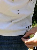
Burrs
Burrs stick to clothing from a walk through the brush. This seed dispersal method was the inspiration for velcro, so we have been told.

Greys River Road. Photo by Pinedale Online.
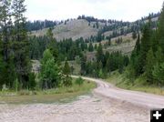
Greys River Road
The road is great for mountain biking, leisurely walks, or a scenic day drive

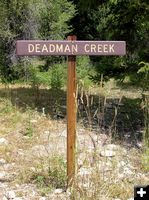
Deadman Creek. Photo by Pinedale Online.
Deadman Creek
There has to be a story behind the naming of this creek...

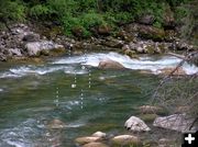
Kayak course. Photo by Pinedale Online.
Kayak course
This kayak course is laid out in the rapids of the Greys River

Little Greys River. Photo by Pinedale Online.
Little Greys River
The confluence of the Little Greys River and the Greys River is a popular spot for RV campers

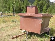
Bear proof dumpster. Photo by Pinedale Online.
Bear proof dumpster
Bear-proof trash dumpster located at Moose Flats Campground along the Greys River

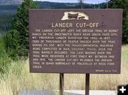
Lander Cut-Off. Photo by Pinedale Online.
Lander Cut-Off
The area is rich in history about the Oregon Trail. Historical markers are located at significant points along the way.

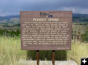
Periodic Springs. Photo by Pinedale Online.
Periodic Springs
Periodic Spring is located 4 miles east of Afton at the end of the Greys River Road.

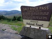
Salt River Pass. Photo by Pinedale Online.
Salt River Pass
Salt River Pass, the divide between the Snake River and the Great Salt Lake drainages
Pinedale Online > News > August 2004 > McDougal Gap, Greys River Road Tour

Pinedale Online!
Pinedale Online! PO Box 662, Pinedale, WY 82941
Phone: (307) 367-6763 Fax: (307) 367-2864

Office Outlet in Pinedale, 43 S. Sublette
E-mail:support@pinedaleonline.com

Copyright © 2004 Pinedale Online. All rights reserved.
Pictures and content can not be used in whole or part without permission.