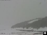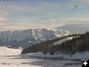

By afternoon
By afternoon, the sunshine was gone and wintery weather was making its way into the Bondurant valley. Photo by the Bondurant webcam.
|
|
Snow returns
Significant snow accumulations possible for NW Wyoming mountains
by National Weather Service
January 22, 2009
Areas of light to moderate snowfall will create slick roadways through mountain passes Thursday night. Travelers are encouraged to dial 5-1-1 to get the latest road conditions.
According to the National Weather Service, a strong Arctic cold front is expected to plunge south into the Wyoming area late-day Saturday and Sunday and spread light to moderate snow and much colder temperatures across the area. Significant snow accumulations are possible in the northwest mountains, along the east slopes of the Continental Divide and in the eastern foothill areas from Cody to Lnder.
Travelers are encouraged to dial 5-1-1 to get the latest road conditions. The National Weather Service advises that this could potentially be a major storm system.
The WYDOT Wyoming Road Report is also available by dialing 511 in most Wyoming locations. Otherwise, please dial: (888) 996-7623 - (888) WYO-ROAD.
For Utah road and travel information, call 1-801-887-3700.
|

